
At midnight on August 17, 1976, the ground beneath the communities in southern Mindanao rocked.
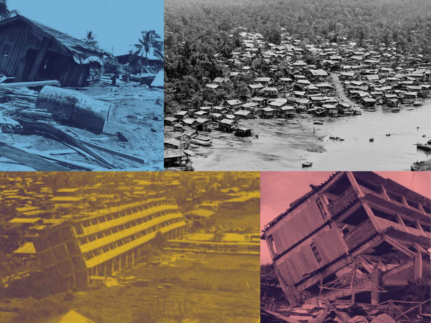
The Moro communities, who lived close to the shore or in houses built on stilts above the sea, were hit by towering waves as high as 9 meters.
By morning, nearly 8,000 lives had been lost, 10,000 injured, and 90,000 homeless.
This still remains the worst earthquake-and-tsunami disaster in Philippine history.

The earthquake’s epicenter lay beneath the Celebes Sea, between Mindanao and Borneo, near Lebak, Sultan Kudarat.
It was felt as far north as Cebu, but the earthquake itself caused relatively limited loss of life.
Later surveys would show that 90 percent of all deaths were caused not by the earthquake, but by the tsunami that followed it.
In terms of infrastructure casualties, Cotabato City, over 100 km away from Lebak, was reportedly the most affected.
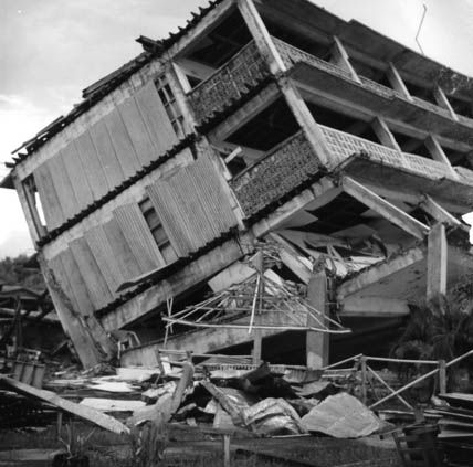
Buildings were normally built on soft alluvial soil without proper foundations.
When mud bubbled up through cracked earth, the ground liquefied.
Houses, schools, and restaurants collapsed, taking over 1,500 lives.
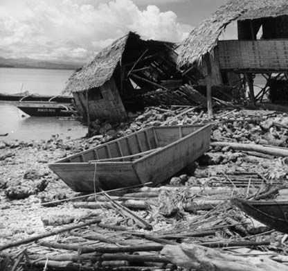
In the villages around Illana Bay, which sits at the mouth of the Rio Grande and directly adjacent to Cotabato City, houses built close to the shoreline also stood little chance.
Back then, only a few people in the Philippines understood what a strong coastal earthquake could mean.
There were no local warning systems, no sirens, and no evacuation drills.
When the shaking stopped, instead of fleeing inland, many stayed inside their homes.
So when the tsunami hit within five minutes of the earthquake, they never came back out.
The sea rose as high as 4 to 5 meters; other reports said 9, tearing through villages in Cotabato, Maguindanao, Lanao, Zamboanga, Sultan Kudarat, and the Sulu Islands.
Among the affected areas were Lebak in Sultan Kudarat; Alicia Sibugay, Basilan, and Sacol Island in the Zamboanga Peninsula; and Jolo in Sulu.
“Many people lived near the coast. Also, it was very dark. [It was] past midnight… Why did so many [die]? It’s because it was sudden. If it happened in the morning when children are in school, a lot of people would probably be able to run for their lives,” said PHIVOLCS Director Renato Solidum.
The International Tsunami Information Center (ITIC) later clarified that the waves were not “giant” in the cinematic sense.
They were fast, relentless, and deadly because people still did not know what they meant.
The tsunami was traced to an underwater fault rupture running parallel to the Cotabato Trench.
This reminds us that the sea floor itself can become a source of disaster.
Knowledge Saves Lives
In many areas, residents had several minutes between the earthquake and the tsunamis, enough time to reach higher ground.
But without education about tsunamis, the danger was unrecognized, according to Dr. George Pararas-Carayannis, then Director of ITIC.
By contrast, during the 1994 Mindoro tsunami, many residents survived because they understood the natural warning signs: strong shaking, the sudden retreat of the sea, and the roar of incoming water.
Education made the difference between thousands of deaths and dozens, said the former director.
Moroland Still Moves
Over fifty years later, the Moro Gulf still moves. Fault lines remain active. Coastal communities continue to grow.
Outside the Bangsamoro, the 1976 tsunami is rarely remembered.
Today, the Bangsamoro Government continues to strengthen disaster risk reduction and preparedness across the region.
This week, local governments in the Moro Gulf have suspended face-to-face classes and offices because the Moro gulf has been moving a lot once again.
The Bangsamoro Government has been continuously preparing and training its authorities in risk management.
Because when the earth moves again, and it will, the sea may not wait.